Alice and I are getting ready for trip up the mountain to celebrate her birthday. We decided to tackle the summit using a new route from the Regency gate and heading up in pretty much a straight shot from the north side of the mountain. Just to be on the safe side we did a test run of the route heading up halfway to test our navigation and get a look at what the trail has to offer.
Our route starts at the Regency Gate and heads out on Donner Canyon Road. We follow it to Cardinet Oaks Road to Middle Trail. From there we pick upProspectors Gap Road to take us to the the final approach on North Peak Trail up to the summit building. We will start at about 525 feet high and about 4 miles later with a lot of huffing and puffing we should reach the summit at 3,849 feet.
Our test hike would take us to the halfway point of the Middle Trail and Prospectors Gap Road intersection at about 2,140 feet up. I don't trust signs and the one at the Regency Gate saying the summit was only 4 miles away seems too good to be true. We packed light with just the necessities and hit the trail just after 8:00 a.m
It was a scorcher on the trail today and this route will make us work. The route I usually take to the summit is about 8 miles with the same elevation gain so this new route would make us ascend quickly. There isn't a lot of flat spots, you are either heading up or down and a pretty good rate. the foot is mostly dirt trails with rock and gravel so footing is not the greatest. We headed up for the most part without using our hiking poles but coming down they come in handy to keep your balance on the treacherous spots of the trail.
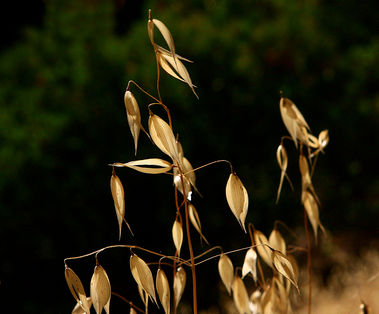
It was slow going heading up the twisting trail. Donner Canyon Creek is bone dry and the dry grass along the path is marked by the fiery red of poison oak spring up everywhere. We tried to keep a good pace but the heat was sapping us quickly. near the end I did a solo reconnaissance mission to Prospectors Gap Road and was rewarded with a narrow twisting trail and a a little bit of dehydration.
We got a good look at where we are going. Another hiker on the trail at the road junction told me that the majority of nasty inclines part on the route we picked is done by the time you reach the halfway point so I feel good about that. It will be a tough climb but we are up for the challenge. I think the only thing that could stop us reaching the summit is if the weather stays unbearably hot. We might make a decision to cut the hike short it if that happens.
It was a grueling hike today but a good practice. I look forward to congratulating my hiking partner on her birthday climb on the summit grounds in a couple of weeks!


No comments:
Post a Comment